County Kerry (Derrynane Beach, Ahamore Abbey, Loher Stone Fort, Valentia Island)

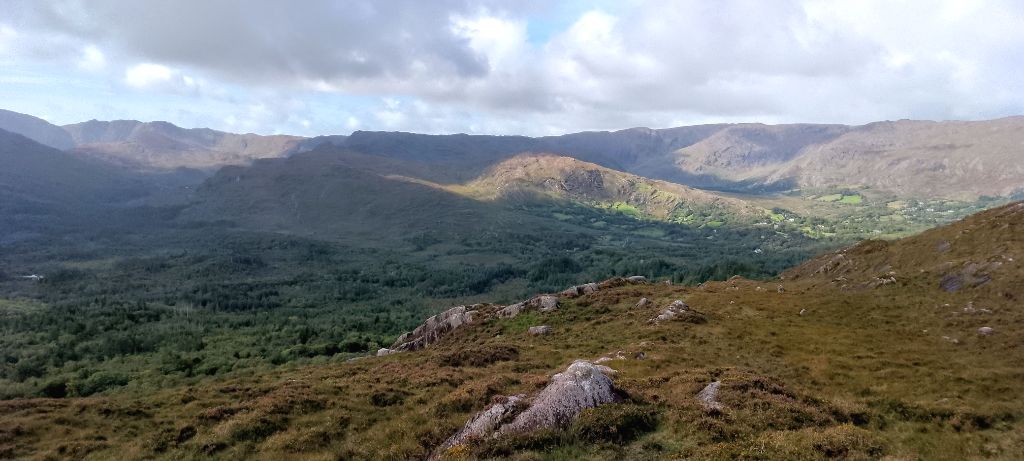
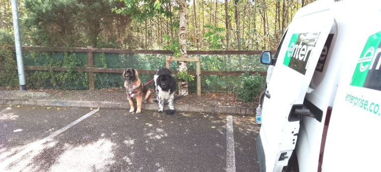
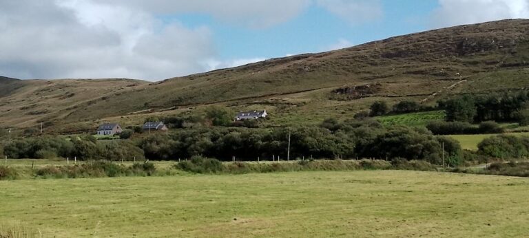
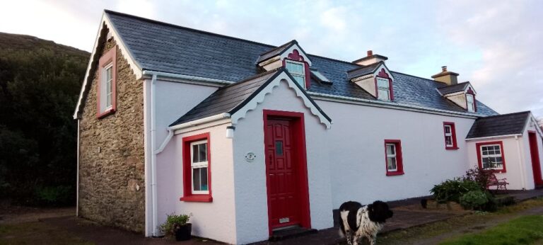
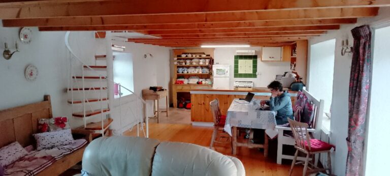
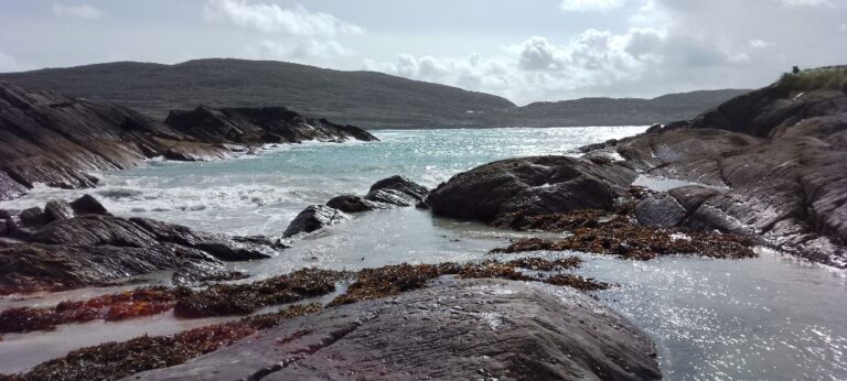
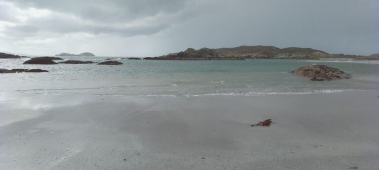
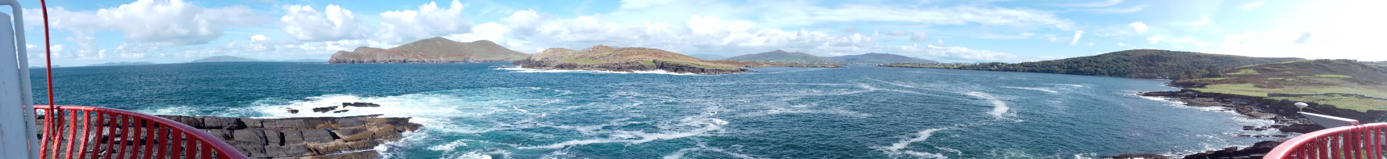
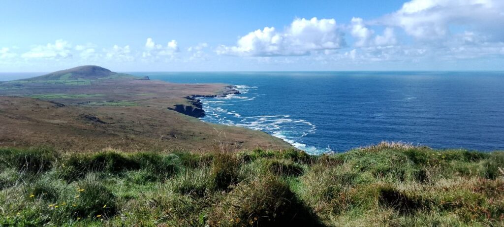
Our next stay is Fuschia Cottage, located just north of Waterville in County Kerry. This drive takes us through part of the country that has some hills that are verging on mountains. Very scenic and I would enjoy it more if I wasn’t worried about driving off the edge of the road  – they don’t believe in guard rails here. 

I’ll take a quick moment here to provide some background on roads in Ireland. Motorways (“highways” in North America), of which there are two (ok, maybe a few more), are numbered starting with the letter “M”, e.g. M1, M2, etc.

National or “N”  roads are numbered  N1 – N99. Next up are the Regional roads, numbered R100-999. And, finally we get to the local roads, number L1000 – L10000+.

There are some simple rules to driving successfully on these roads:

M and N1-N99: no problems, drive as if you were at home (except on the wrong side of the road).

R100 – R999: you can white knuckle through oncoming traffic and usually make it without losing a side mirror or your most recent meal.

Local roads with “L” followed by 4 digits are to be traversed only in case of dire emergency. Expect the following: loss of 1 or more side mirrors; may have to come to an abrupt stop and negotiate with oncoming drivers as to who gets to drive into the ditch to let the other pass (subsequent driving out of the ditch is optional and depends upon how much rain has fallen recently); and extensive paint damage due to scratching your way along the side of the road. The sides of “L” class roads are usually delineated by walls. These walls are typically a couple of inches from the road itself (unless the wall groomers[1] haven’t been around in a while, in which case the vegetation actually protrudes into the driving lane reducing the actual width of the driving lane, which was not all that wide to begin with). Walls are often plant-based, if you are lucky.  However, many are stone walls. If you are really unlucky the wall will look like a reasonably soft mass of vegetation, but in actuality is a thin veneer of organic material hiding an unforgiving stone wall interior. If you encounter this type of wall it is usually too late to do anything about it.  Have your Roadside Assistance and Insurance company on speed dial.

Local roads with L followed by 5 digits are right out. These roads are for “locals”, not the rest of us. Tractors can often be seen lurking around corners, waiting to catch unwary tourists. Head-on encounters on these roads usually require one party to back up for several kilometers, and the party doing the backing up is not the local.


[1] There are actual wall groomers in Ireland. Tractors with articulated arms, that end in a saw or grinder, slowly traverse the roads and cut back the foliage that protrudes into the roadway.

Photo from the roadside near the border of County Cork and County Kerry

We rented a small cargo van as all of the rental cars, including SUVs, don’t have enough room for the dogs and our luggage. We bought carpet and blankets to make it a bit more comfortable and to keep the dogs from sliding around.

There are two "bunk" beds in the cargo area. SweetPea gets the upper bunk and Lump the lower (just like in our previous Suburban)
Our luggage goes under the carpet and blanket, forming the upper bunk

Lots of stops along the way for stretches, water, and bathroom breaks.

Fuschia Cottage is located part way up a hill and provides great views of the surrounding countryside
The cottage itself is semi-detached, with the owners living in the smaller unit on the right side

The interior is nicely renovated with the only downside, from the dogs perspective, is a very narrow spiral staircase leading to the bedrooms on the second floor.  Guess the dogs will be sleeping by themselves tonight…

About 5 minutes after going to bed on the first night, we hear a scraping sound. Followed by a scrabbling sound. Followed by a large weight landing on the bed. SweetPea decided that sleeping downstairs, in the dark, on the floor was not going to happen.

The next morning we had to slow her descent down the stairs as she has no fear (ours makes up for her lack).

We spent a day at the Derrynane Seashore Nature Trail and Beach. Numbered plaques directed you a place in a website that provided an explanation of the flora and fauna at that location.

The beach was a mixture of rocky and sandy areas. Too many people about for the dogs to run about, but still fun. Lots of rock pools, but they didn’t contain anything interesting to watch.

It started raining during our walk along the beach. Rain seems to be a daily occurrence in Ireland. Usually the rain is a light, consistent drizzle. Today’s rain was heavy and moving sideways, so we took shelter on the leeward side of a lifeguard shack on the edge of the beach.

The squall blew through quickly and we were able to continue along the beach. At the end of the beach we encountered the ruins of Ahamore Abbey which is believed to have been built in the 6th century.

A bench in the Abbey grounds, overlooking the ocean, provided a perfect spot for a picnic.

Another day, another ruin… Loher Stone Fort was built in the 9th century, but the stonework has been recently restored. The wood walls and roofs of the interior buildings has not been replaced. Originally built as a fortified farmstead. A better view of the entire fort can be seen here.

Just off the north-west coast of the Iveragh Peninsula, where we are currently staying, is Valentia Island. The island is about 11 km by 3 km and has a population of less than 700. Valentia is the eastern end of the first commercially viable transatlantic cable. The western endpoint of the cable was located in Heart’s Content, Newfoundland, Canada. This transatlantic telegraph cable operated  from 1866 until 1966.

View from top of Geokaun Mountain on Valentia Island, looking east towards the mainland
View from Geokaun Mountain north, past the island's lighthouse to the hills on the mainland

We drove across the bridge from Portmagee on the south side of the island. To get back to the mainland we took a wee ferry from Knight’s Town (pop. 156).

View from lighthouse on Cromwell Point of Valentia Island

September 18 – 20

Leave a Comment

Your email address will not be published. Required fields are marked *