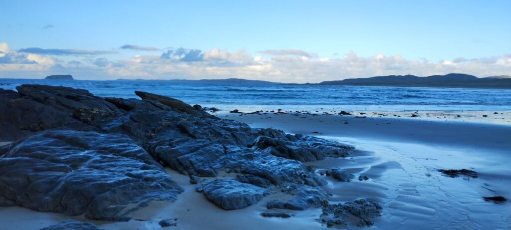
Rathmullan to Glengad, our next stop, is only an hour and a half drive, so we have some time to stop along the way.
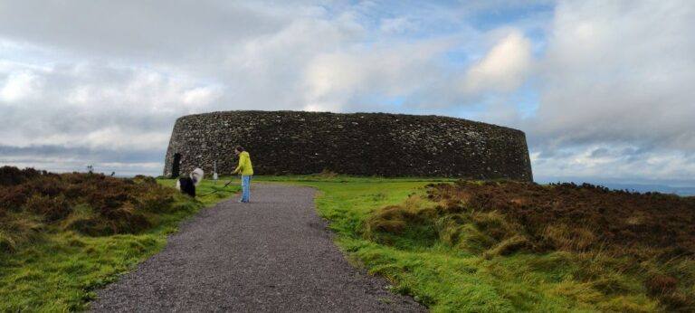
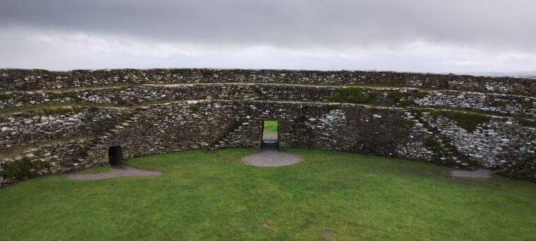
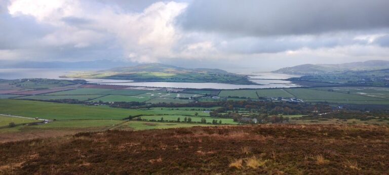
Our first stop is Grianan of Aileach, a round fort initially built in the 6th or 7th century and restored in 1870.
Next up is Inishowen Head which is supposed to have a nice loop walk out on the tip of the Inishowen penisula. We stopped at the Cozy Cottage restaurant in Moville for lunch. Wasn’t great.
When we got to the Inishowen penisula the rain was coming down in buckets, so we passed on the walk.
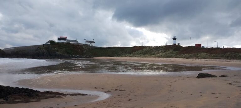
We saw a parking lot with a sign for a “Tra” (beach), so we stopped in to take a peek.
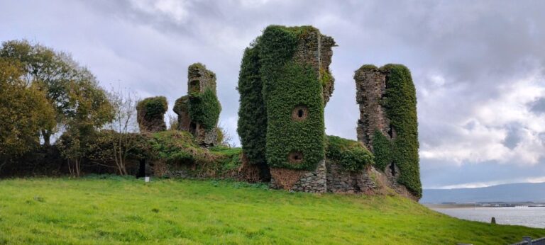
As we were driving up to Inishowen we noticed the ruins of a castle on the way up and decided to go back for a closer look.
Finally time to make our way to Tudder’s Seaview House, an Airbnb located in Glengad, County Donegal.
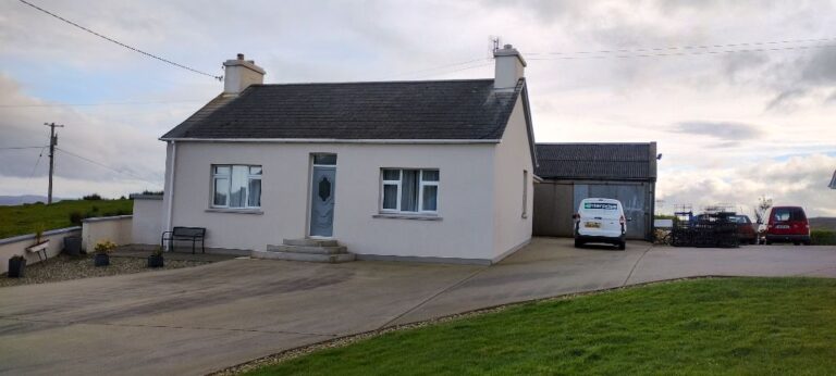
The cottage looks nice from the outside, and the interior is nice as well. However, when we went to put our groceries away we found open packages of old food. There was food in the freezer that had melted and refrozen. The kitchen cupboards had tons of the owner’s personal items. There were light bulbs burnt out in three rooms. The dresser drawers and closets were full of the owner’s personal items and we had to move their stuff around to make room for ours. A bit icky. There was 1-1/2 rolls of TP (not enough for 7 days even if we ration it), so we asked for some more and were told “the house comes with 2 rolls”.
Not the nicest of neighbourhoods that we have stayed in. One thing that we have noticed in Ireland is that there is little to no garbage in the residential areas. Many towns have sign saying “Winner of the Tidy Town award”. This area has not won this award. There is garbage on the streets and in the ditches. There is junk in the sheep fields around us.
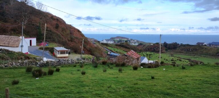
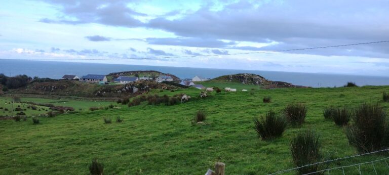
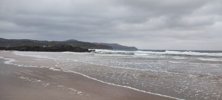
One of the reasons we came to this part of Ireland is to visit Mallin Head. The northernmost point of the country.
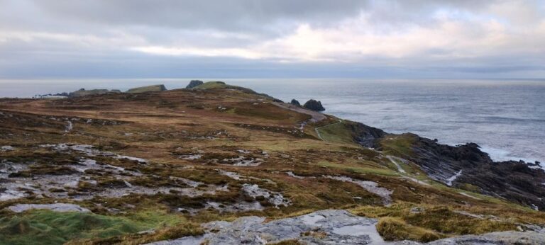
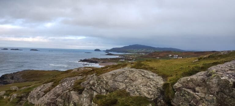
Mallin Head is described as being a windy place on a regular day, and today storm Ciaran is expected to make an appearance. It was windy, but not raining when we arrived. We took some photos from the point, and then started on the walk to Hell’s Hole, a cavern in which the ocean waves are supposed to crash spectacularly against the rocks. As we headed down the trail the wind picked up and the horizontal rain started. The sky ahead of us was looking a bit grim, so we headed back to the car park. Totally soaked, us and dogs, by the time we got back.
Mallin Head has the dubious reputation of having the most ocean liner and u-boat wrecks in the world, as a result of actions during WW1 and WW2.
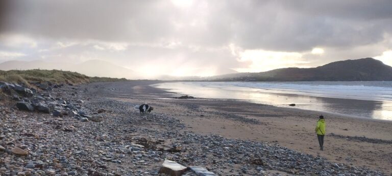
Once again Google Maps leads us astray. We are looking for the beach at Pollen Strand. Following directions from Google Maps we end up driving by a farmer’s barn and then onto a gravel road. The road is running parallel to the coast, which we can see a couple of hundred feet off to one side. The gravel road is full of potholes, and the potholes are full of water (raining again). Our rental van has about 4″ of clearance, so we inch our way around these water-filled potholes while wondering how deep they may be. We finally arrive at a car park. At least we think/hope it is a car park as the road has ended. We park next to some farm equipment and head down to the beach. The tide is out so there is a sandy part of the beach that can be walked on. When the tide is in walkers would have to scramble through the rocks at the top of the beach. We walk to the opposite end of the beach and find a paved parking lot, with several cars, beach sign posts, and other human beings. We apparently took the road less travelled to reach this beach.
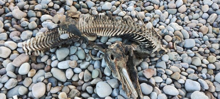
Lump sniffed out the remains of a dinosaur on the beach. Subsequent research (google lens) determined that it was the skeleton of a Bottlenose Dolphin. Still looks more like a pterodactyl to me.
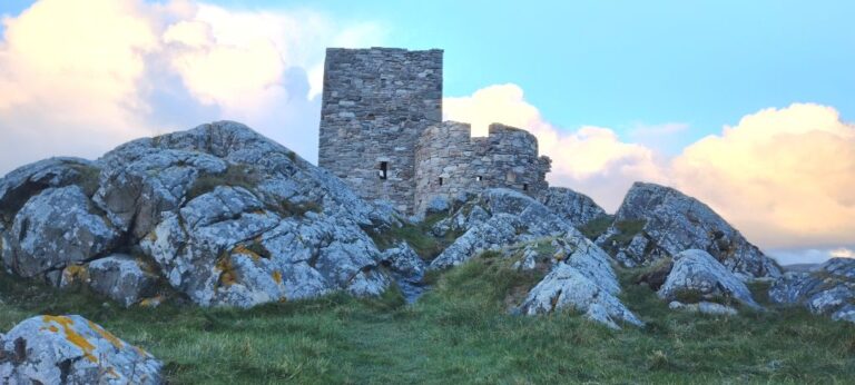
There is a small castle with a round tower and keep located at the start of the beach where we drove in. Carrickabraghy castle was built in 1540 and abandoned in 1665.
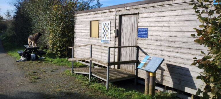
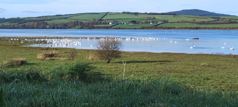
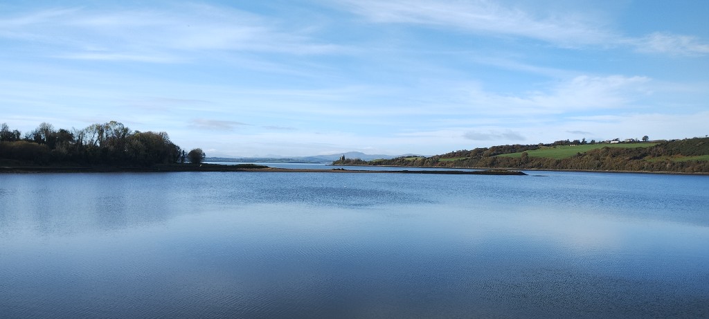
The Inch Wildfowl Reserve is located on the east bank of Lough Swilly, tucked in behind Inch Island. The last place we stayed in, Rathmullan, is located on the west bank of Lough Swilly just across from Inch Island. The reserve used to be connected to the lough, but has been closed off by land bridges. There is an 8 km walking trail that winds across both land bridges and loops around the entire reserve.
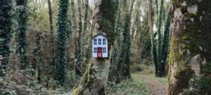
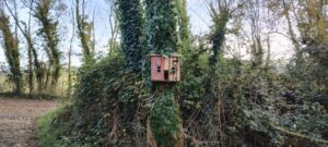
The wildfowl reserve is also home to fairies as evidenced by their homes. Fairy walks are quite common in Ireland, but I have yet to see a fairy at home.
October 28 – November 3, 2023

