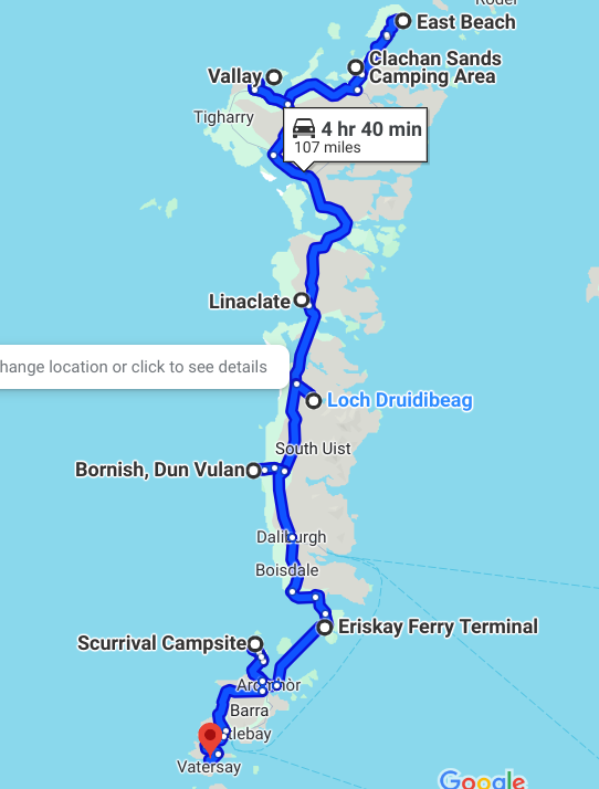
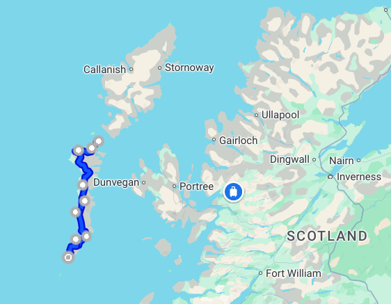
Heading south from the island of Lewis and Harris we catch a ferry to the island of Berneray.
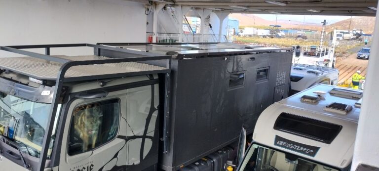
We spend a couple of days on the eastern coast of Berneray, at East Beach (not to be confused with West Beach which is located on the western coast) because the dogs have not had enough beach time in the last few months (kidding – we have seen more beaches in Scotland than we have seen in our lives!)
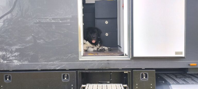
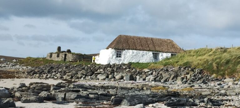
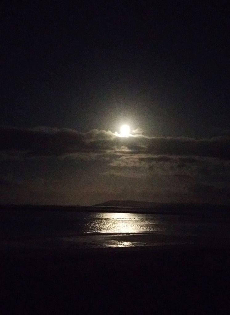
A causeway connects Berneray to the island of North Uist, our next destination. The roads in the Outer Hebrides islands are all similar: lots of single lane roads with passing bays, interspersed with a few dual lane roads just to keep the tourists happy. All the locals we encounter on these single lane roads are great. They understand how these roads work and keep a look out ahead for oncoming traffic. Locals usually see Rosie coming in the distance and pull well over into a passing bay. No fuss, no muss. Tourists on the other hand don’t quite get it. They drive in convoys that are too long to fit into passing bays, or they don’t actually pull over into the passing bay, they just ease over a little and hope that you don’t scrape off the side of their vehicle (often a rented motorhome). We have seen many white knuckles gripping steering wheels as Rosie creeps slowly past.
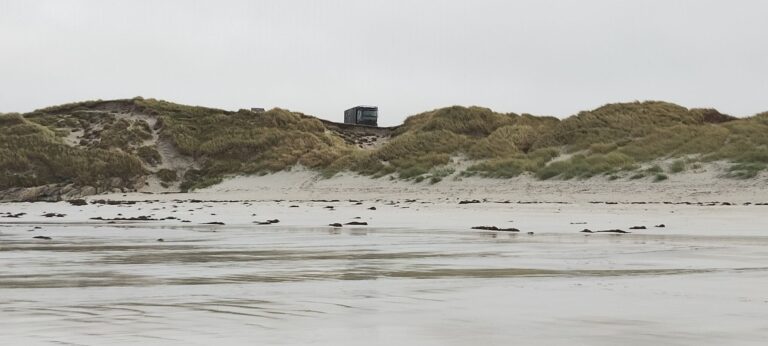
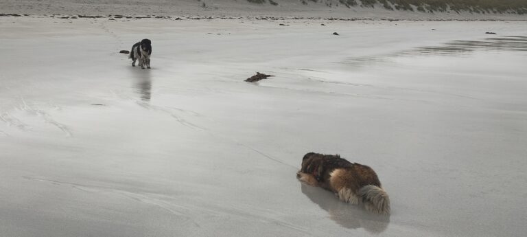
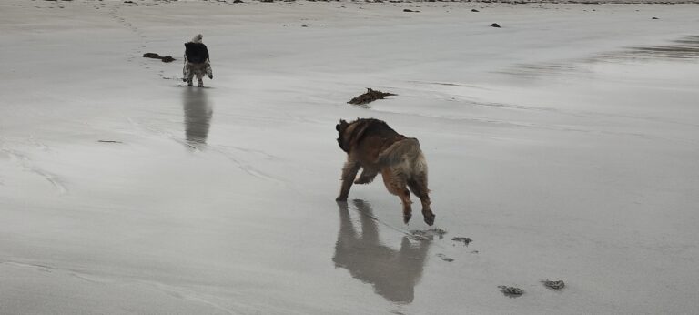
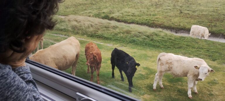
The small island of Vallay off the west coast of North Uist was once home to over 50 people. The island is now uninhabited, but is still used by local farmers. The island is only accessible by boat at high tide, or by foot at low tide. Some local farmers also drive their vehicles across to the island at low tide (I couldn’t find any stats as to how many get stuck in the wet sand each year).
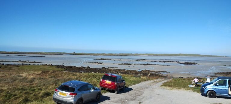
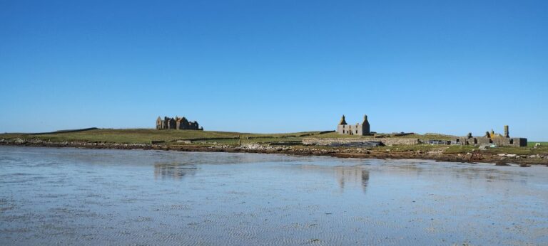
Baleshare is another small island off the west coast of North Uist. In 1962 a causeway was built that connected Baleshare to North Uist.
There is a Canadian connection to Baleshare: John Fergusson was born in Baleshare, but moved to Nova Scotia where he represented Cape Breton (1867-1874) in the new dominion called Canada, created by the British North America Act of 1867.
A local farmer owns a piece of the coastline of Baleshare and allows people to camp overnight in exchange for a small fee. The farmer uses money raised from these fees for local community improvements, such as a defibrillator.
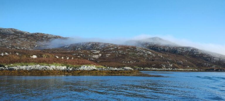
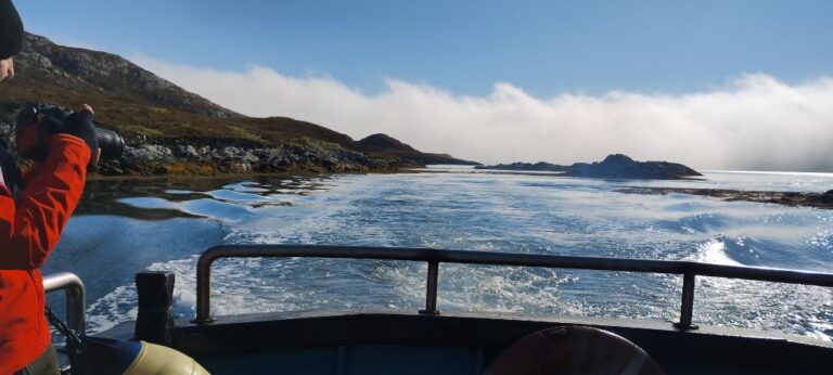
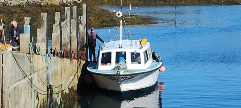
We decided to do something a little different and booked a wildlife boat cruise out of Kalin Harbour on the island of Grimsay. The waters around this part of Grimsay island are filled with dozens of smaller islands that are, supposedly, full of wildlife.
The morning of our cruise got off to an inauspicious start as a thick fog reduced visibility to just a few feet. Not exactly ideal conditions for wildlife viewing,
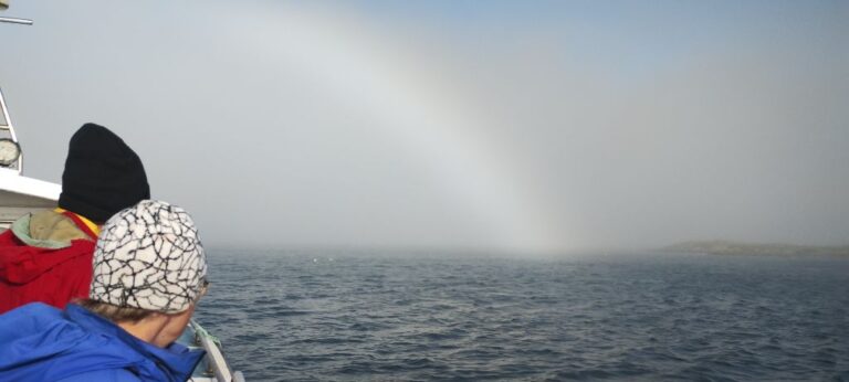
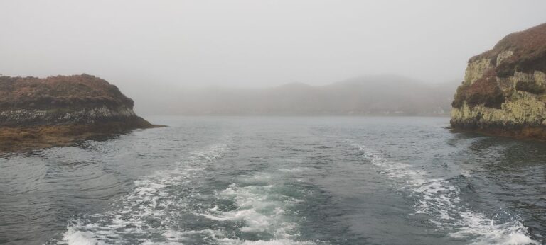
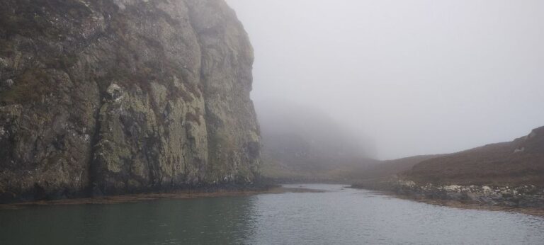
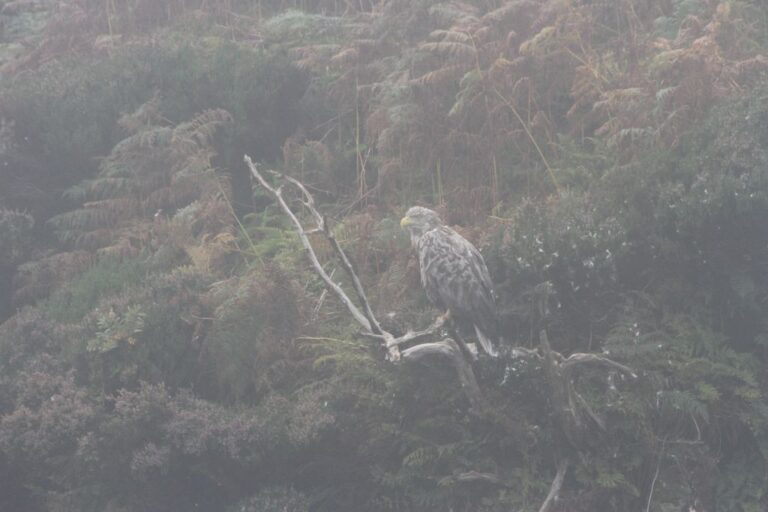
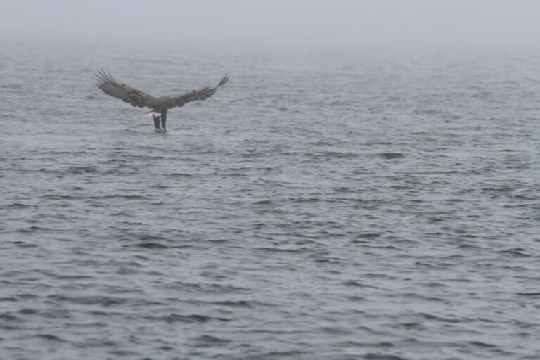
Through the fog we finally saw a Golden Eagle sitting in a tree. The captain’s assistant threw a dead fish into the water and the eagle swooped down to pick it up!
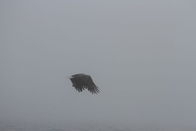
We saw a few Red Deer on a couple of islands, but they were too far away to photograph using my cellphone. As we started our return to the harbour the fog started to clear.
The next place we stayed was a bit unusual, in that it was a community field, behind a hotel, next to the shore on the island of Benbecula. We weren’t sure if we could stay overnight in this spot, so we asked someone working in a garden nearby and were told that it was okay to stay as the field was only used for a community festival once per year and occasionally used as a skeet shooting range. We didn’t see any shotgun toting locals, so we were good for the night!
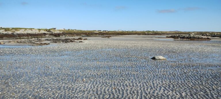
Something new for us at Liniclate Beach: thousands of clam shells that were visible at low tide. The shear number of shells made large white areas on the exposed sand. There must be large shell beds nearby and some local wildlife (otters? birds?) that eat them. No Chippies nearby, so the shells are not the detritus from fried clams. Yumm, I could go for some fried clams!
Another causeway gets us onto the island of South Uist and to the Loch Druidibeg Nature Reserve.
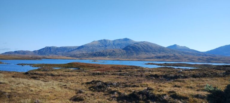
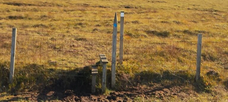
We hiked through the bog around Loch Druidibeg and didn’t see much in the way of wildlife. The scenery more than made up for the lack of wildlife, and the dogs thoroughly enjoyed getting mucky. We encountered a fence stile that Lump could not climb (SweetPea would have given it a shot if we let her), but not too far away from the stile was an area where the dogs could crawl under the fence.
We came upon a local gentleman and his son who were in the process of loading bags of peat that they had cut from the bog earlier in the summer. The peat was now sufficiently dry that they could bag it and transport it home. There are no fences or signs in the peat bogs, but the locals know who is allowed to cut peat and where they are allowed to cut. The local we talked to told us that the peat was running out in their allocated area, but they had a friend who was going to allow them to cut in a nearby location. The used the peat for winter heating to offset the high cost of electricity and other fuels.
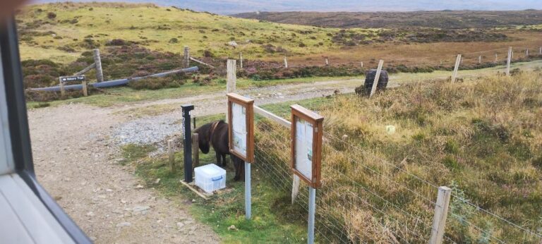
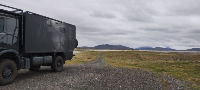
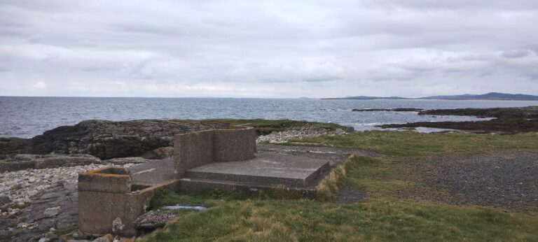
Further south of Loch Druidibeg is the village of Bornais, and just to the west of Bornais is a narrow peninsula the locals call Fobost Headland. This is an old WWII site and has been used as an artillery test range. We don’t hear any loud bangs, so we are probably ok for the night. The paved road ends at a church, but a dirt path continues out to the end of the peninsula. Before reaching the end of the peninsula there is a flat area just past a farmer’s field where people camp. However a small gnarly track continues out across a narrow causeway and then widens into a flat track that goes to the very end of the peninsula. Rosie is now parked on the western-most point of South Uist and is all by herself (we prefer it that way!).
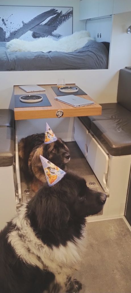
It’s Lump’s 7th Birthday! So cake is in the offing!
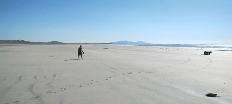
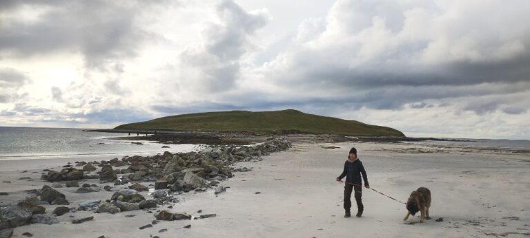
Continuing down the west coast of South Uist we arrive at Gearraidh na Monadh, You guessed it. Another beach. Lump’s birthday request was a beach day, so here we are.
The beach walk started out just fine, but then Lump went into “search mode”. Lump gets his nose down and then quickly roves back and forth as he homes in on a scent. When he does this he is oblivious to anything else (including us). He is so focused on finding the source of the scent that nothing else registers. He has done this several times before, but he outdoes himself this time. As we chase Lump down the beach we start to smell something foul. As we get closer the stench is incredible. Lump has found the carcass of a large sea creature (about 25′ in length). We are not sure what the decomposing lump is (a small whale? very large seal?) but we don’t want to hang around to explore further. Grabbing Lump we exit the area post haste.
Yet another causeway gets us to the island of Eriskay and the harbour where we catch a wee ferry to the island of Barra.
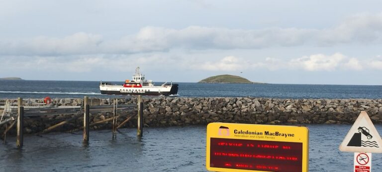
The ferry drops us off a Ardmhor, Barra and we take a small and winding road north to Eolaigearraidh and the Scurrival Campsite. More of a sloping farmers field than a campsite, but the selection of overnight spots on this tiny island is quite limited. Barra is only 18km long and 10km wide. There is one single track road that circles the island.
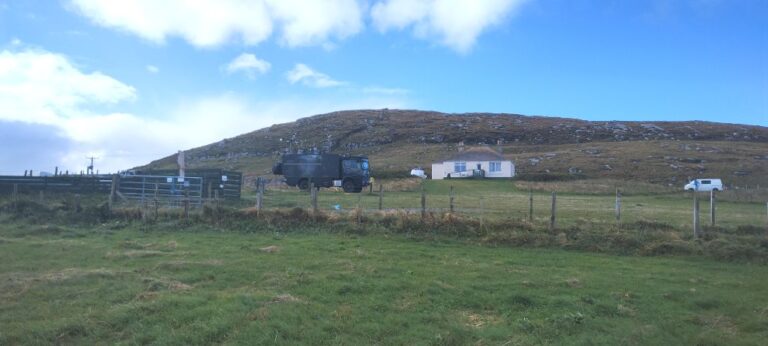
The people on the islands are incredibly friendly and one local tells us about a nearby beach (yep, another beach. can’t swing a cat without hitting a beach in this part of the world).
We cross the road (track). Walk through a field. Out through a gate and we are on a beach. This beach has a few interesting features.
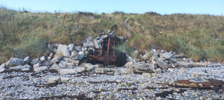
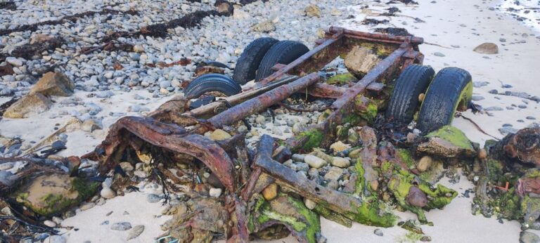
We don’t know if these rusting wrecks are from a shipwreck or just old vehicles abandoned on the beach.
Exploring Barra doesn’t take long and we soon find ourselves on the Vatersay Causeway crossing over to Vatersay Island, the southernmost an westernmost inhabited island in the Outer Hebrides. Vatersay is even smaller than Barra. It is 5km long and 5.5km wide. There are no main roads, only very narrow (narrow even by Scottish standards) single lane tracks. We thought we were getting used to narrow single lane tracks, but Vatersay took narrow to new heights. In addition, it seems that passing bays are expensive, so there are not a lot of them on Vatersay. Fortunately there is not a lot of traffic in Vatersay either. Only once did we encounter an oncoming car in Vatersay and this occurred at an intersection, so there was enough space to get around each other.
Vatersay is the starting point of the Hebridean Way, a popular 184 mile hiking/biking trail that extends to the Butt of Lewis (northernmost point of the island of Lewis & Harris).
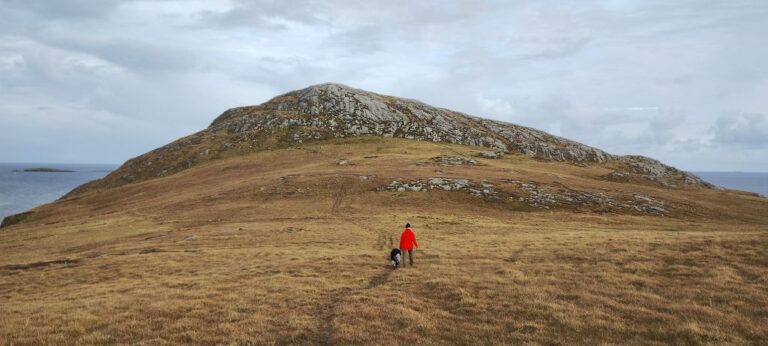
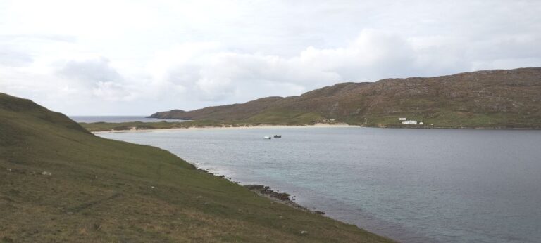
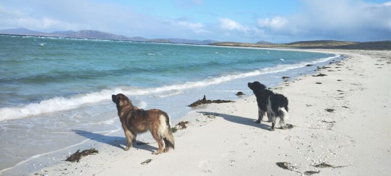
The photo at the top of this post was taken in Vatersay.
